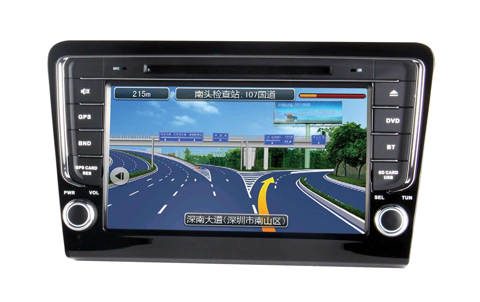
Operation principle of Jiangmen vehicle navigator
Operating principle
GPS is composed of space satellite, ground monitoring and user acceptance. In space, there are 24 satellites forming a distribution network, which are scattered on six earth quasi synchronous orbits 20000 kilometers above the ground and with an inclination angle of 55 °, with four satellites in each orbit. GPS satellites circle the earth every 12 hours, so that any place on the earth can receive signals from 7 ~ 9 satellites at the same time. There are one main control station and five monitoring stations on the ground to monitor, telemetry, track and control the satellite. They are responsible for observing each satellite and providing observation data to the master control station. After receiving the data, the master control station calculates the accurate position of each satellite at each time, and transmits it to the satellite through three injection stations, and then the satellite transmits these data
Vehicle navigator
The data is transmitted to the ground through radio waves to the user receiving end equipment.

Note: this system was originally jointly developed by the US Army, navy and air force in the 1970s. Its primary purpose is to provide real-time, weather and global navigation services for the three categories of land, sea and air. It is used for some military purposes such as intelligence collection, nuclear explosion monitoring and emergency communication. It is an important arrangement of the US strategy of dominating the world. After more than 20 years of research and experiment, the GPS system cost US $30 billion. It was not until March 1994 that the 24 GPS satellite constellations with a global coverage of 98 were officially deployed. Now the use of GPS system is not limited to the military field, but has developed to various fields such as car navigation, atmospheric observation, geological survey, marine rescue, manned spacecraft protection and exploration.
Composition
The operation of GPS navigator also needs a car navigation system. The GPS system alone is not enough. It can only accept the data sent by GPS satellites and calculate the user's three-dimensional orientation, direction, movement speed and time. There is no path accounting ability. In order to realize the function of route navigation, the GPS receiving equipment in the hands of users also needs a perfect car navigation system including hardware equipment, electronic map and navigation software.
The hardware of GPS navigator includes chip, antenna, processor, memory, screen, key, speaker and other components. However, as far as the current situation is concerned, the hardware gap of GPS Car Navigator in the market is not large, and the built-in software map has been difficult to distinguish who is good and who is bad. At present, eight map companies in China are engaged in the mapping and development of navigation map software, such as 4D tuxin, Kailide, daotong and chengjitong, Have been able to provide quite good navigation map software.
To sum up, a complete GPS Car Navigator is composed of 9 primary parts: chip, antenna, processor, memory, display screen, speaker, key, extended function socket and map navigation software.
Article source: Jiangmen vehicle navigator http://leakdamagelaws.com
-
10-12
Vehicle intelligent navigation: a new retail solution
New retail solutions That is, by using advanced technical means such as big data, indoor positioning and navigation, video camera and image recognition to upgrade and transform the production, circu
-
09-02
Brand of on-board Navigator: what is the significance of on-board navigation?
Like the sunroof and headlight cleaning, which look tall but don't need it, the use of on-board navigation feels the same, which is very bad. Not to mention that some on-board navigation screens
-
08-09
Brand of on-board Navigator: how to judge the quality of on-board navigation?
Most car owners who are unfamiliar with car navigation products buy them by directly determining the brand and price (the brand and price recommendations will be introduced in the next few issues). Of
-
06-30
What are the functions of Jiangmen automobile navigator
With the spread of cars and the construction of roads, economic exchanges between cities are becoming more and more frequent. It is very important to have a good car GPS navigator. However, many car o